My MSc dissertation: an exploration of how 3D modelling can make a virtual diving experience more realistic and immersive. Diving demands professional skill, equipment, and carries real risk — and, in a year shaped by COVID-19 and geography, is out of reach for many. The project asks how virtual reality and 3D content can open that experience up to anyone.
- Context
MSc Human-Computer Interaction dissertation, supervised by Dr Alan Miller.
- Brief
Use 3D modelling to enhance the immersion and realism of a virtual dive. Beyond building the models themselves, the work investigates supporting techniques — render engines, Blender-to-game-engine workflows, and photogrammetry — that are broadly useful for any immersive 3D project.
- Approach
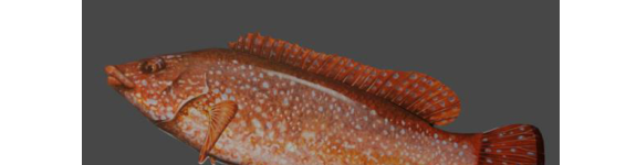
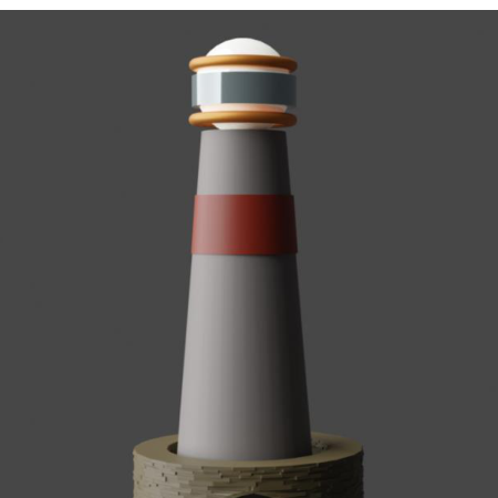
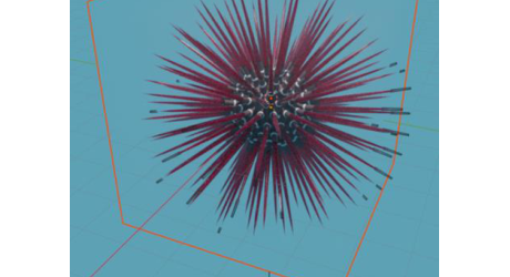
- 3D modelling: built seven marine models in Blender — including a textured Ballan Wrasse, a lighthouse, a sea urchin, bubbles, and rock — some static and some animated, such as the urchin and the swimming-fish motion.
- Lighting & atmosphere: studied spot, sun, and point lighting and used fog volumes to recreate the murky, light-scattered feel of being underwater.
- Render engines: compared Blender's Eevee and Cycles engines across the models, weighing realism against render time.
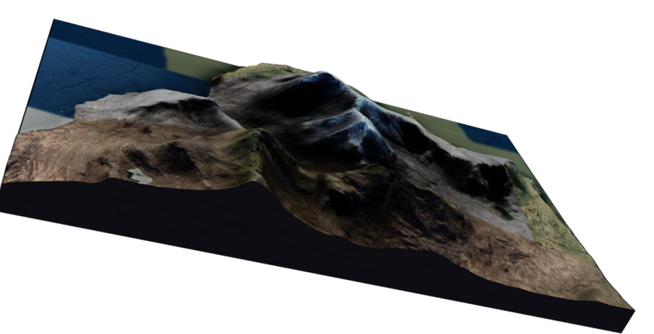
- Workflow & environment: explored a "Send to Unreal Engine" addon to speed up the Blender–UE4 pipeline, and used BlenderGIS to reconstruct real terrain by combining Google Maps satellite imagery with NASA SRTM elevation data.
- Photogrammetry: surveyed photogrammetry tools (e.g. Reality Capture) as an alternative route to high-fidelity 3D capture.
- Reflection
All primary, secondary, and tertiary objectives were met. Testing was continuous — modelling and rendering revealed issues to fix along the way (a single 4-second urchin animation took 18 hours to render on a MacBook Pro). Hardware limits forced pragmatic pivots: an original plan to model a full ocean was replaced by the BlenderGIS terrain approach. The honest critical appraisal — on device constraints, model fidelity, and the limits of studying photogrammetry without the hardware to run it — was as valuable as the artefacts themselves.
- Tools
Blender (Eevee & Cycles), Unreal Engine 4, BlenderGIS, Reality Capture, NASA SRTM & Google Maps data.